Walbridge Fire
There are almost no evacuation warning areas left. What remains are some residual fires and some mandatory evacuation zones and one evacuation warning zone (figure 1).
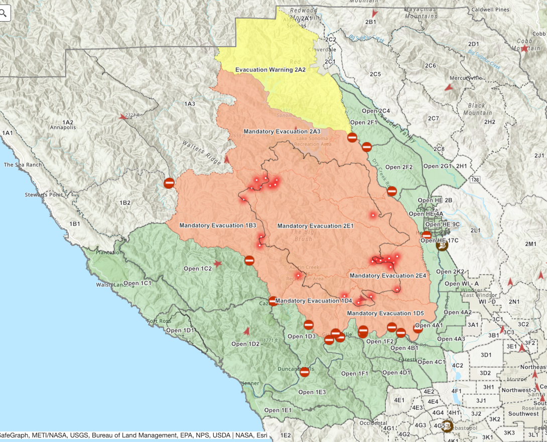
Fig. 1. Screenshot of Sonoma County Fire Incident Map taken by author on August 25, 2020 at 9:58 pm EDT (6:58 pm PDT).
Barring adverse developments, I’ll probably stop paying attention here.
Tropical Storms
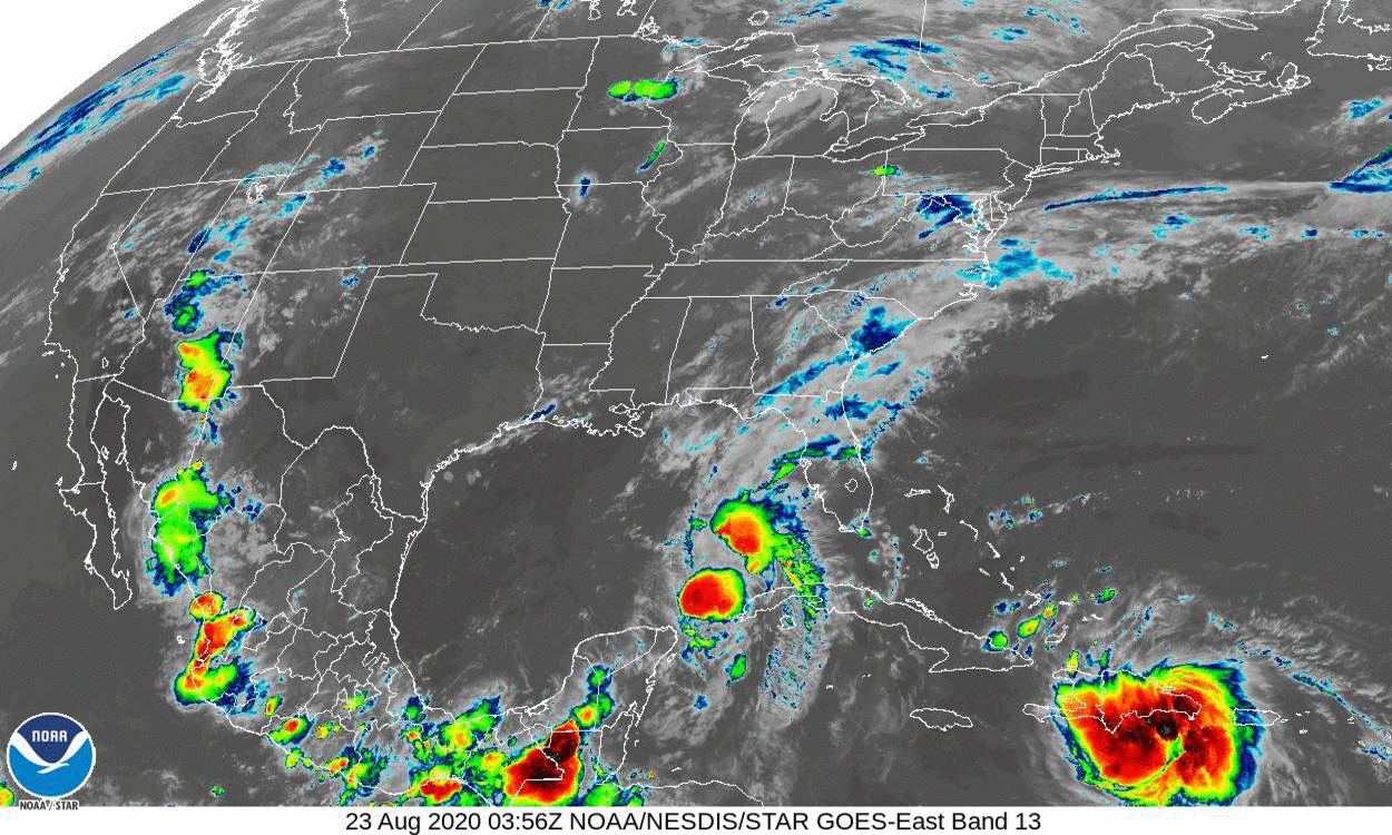
Fig. 2. 72-hour gif of satellite imagery for the eastern U.S. and Gulf of Mexico, as of August 25, 2020, 10:01 pm EDT.
It’s still a bit ambiguous to my eye, but Laura appears to possibly be on a more westerly track than the one followed by Marco (figure 2). My guess would now be landfall in Louisiana or Mississippi. I’m expecting a better idea tomorrow, yeah, probably just as the storm actually is making landfall.